
The ‘Lochview’ Standing Stones

By Sigurd Towrie
Make your way along the Ness of Brodgar peninsula and you will see some of the best-known ancient monuments in Orkney. Thousands make that journey annually, passing towering megaliths en route between the two stone circles.
But, if noticed at all, the pair of megaliths [1] standing between them probably don’t get a second glance [2].
These two stones might not be as visually impressive as their neighbours, but appearances can be deceptive. They may have played a significant role in the life of the monumental complex at the heart of Neolithic Orkney.

The lichen-covered stones stand outside the Ness of Brodgar dig HQ – half a mile to the south-east of the Brodgar ring and on a bank west of the road.
Around eight metres apart (26ft) and measuring a mere 2.75 metres (9 ft) and 1.7 metres (5½ ft) high, both were generally ignored by the antiquarians fascinated by the grander Stenness monuments.
Where they do get a mention, such as in Thomas’ quote above, it is usually as a side note.
If the megaliths had names, they have not survived. They are simply designated “stones” on Walden’s 1772 map of the Ness of Brodgar.
In a 1901, a visiting minister referred to them as “the stones of Saturn and Jupiter” [3] in a sermon at the Stenness kirk.
Addressing his congregation, Rev Agnew:
These “druids”, Rev Agnew declared, would stop during their procession to the Ring of Brodgar at:

From there they made their way
As suggested in the Comet Stone article, Rev Agnew’s rather nonsensical account [4] was clearly influenced by Orcadian Magnus Spence’s theories on megalithic alignments, which had recently been published.
To Spence, the Comet Stone “no doubt represents Venus, following the great sun-god in his fiery chariot…” [5]. His astronomical designations were tenacious and were still being used, by some, as late as July 1952. [6]
Spence, however, like most, made no mention of the Lochview megaliths and did not include them in his proposed alignments.
The idea of a monumental processional way had been around for some time before Rev Agnew and remained until the early years of the 21st century.
The two standing stones, it was argued, were part of a massive, megalith-lined avenue between the Stones of Stenness and Ring of Brodgar.
Geophysical surveys of the Ness have now shown there was no avenue, but the results did suggest another, perhaps equally significant, role.
A southern entrance?

In 2002, geophysics revealed a cluster of sub-soil anomalies, “indicative of settlement”, covering a 2.5 hectare area on the south-eastern end of the Ness of Brodgar.

The discovery of structural remains in 2003, confirmed the survey data was correct and excavation at the Ness began.
The geophysics had suggested two large, linear anomalies to the north-west and south-east of the dig site. In 2007, the northern anomaly was found to be a massive, four-metre-wide (13ft) stone wall, the “Great Wall of Brodgar”.
It was followed, in 2009, by the “Lesser Wall of Brodgar” – another boundary that was two metres wide (6ft 7in) and with a flagstone path along its base.
The “Lesser Wall” survived to a height of c1.8m (5ft 11in) but the geophysics revealed that, at its north-eastern end, it stopped abruptly.
Initially, it was thought this section of the Ness-spanning wall had been dismantled in the Neolithic and the stone carried off for building projects elsewhere.
Signs of extensive stone-robbing had been encountered across the Ness since the first structures were uncovered. But at the wall there was no evidence it had taken place.
Instead, it seemed the wall, like its northern counterpart, simply stopped – but that there may have been an entrance providing access to the complex. [7]


It is perhaps no coincidence that the Lochview standing stones are just over ten metres to the north of the wall.
Did they form part of this theoretical entrance arrangement? It is a compelling argument. Unfortunately, the area around the megaliths has been badly disturbed in modern times, meaning geophysical survey cannot help answer the question. [7]
While one might expect a megalith pair marking the entrance to a site such as the Ness complex to have been grand examples, on a par with the Watchstone and the Stones of Stenness, the Lochview candidates seem an odd choice.

They are neither tall (although it is possible they may have been broken) nor equally sized. Although both are around 0.41 metres (16 in) thick, at 0.76 metres (38 in) the northern stone is more than twice as broad as its companion (0.41m/16in).
It seems, therefore, that factors other than visual grandeur were involved in their selection.
Aside from their height, both are distinctly different to the easily quarried, slab-like megaliths elsewhere around the isthmus.
Being squarer in cross-section, the Lochview megaliths are very similar to the camptonite standing stone stump – itself one of a suspected pair – that marked the entrance to Structure Ten.
These three megaliths came from a different, presumably significant, source.
We know the megaliths forming the Ring of Brodgar and Stones of Stenness came from different quarries across Orkney – it was not just a case of using the closest source. Different quarries were also exploited for different monuments. [10]
One of the suggestions why these specific outcrops were quarried for standing stones is that they represented different locations and associated social groups.

These “material qualities” would have ensured the block-like Lochview stones stood out as being markedly different.
Across Orkney’s West Mainland are several outcrops of igneous rock, and it seems likely the Lochview stones originate from one of these.
Unlike the sandstone used for megaliths at the Stones of Stenness and Ring of Brodgar, which can be prised from their outcrops in handy, uniform megalith-shaped slabs, camptonite is a very hard rock, so extracting it would have taken considerable time and effort and the results perhaps less predictable.
If the quarrying difficulties were not behind the Lochview stone’s asymmetry, it is interesting to note that the two stones flanking the eastern entrance of Ness Structure Twelve were not a matching pair.
Here, the northern stone is thin, somewhat scrappy and visually inferior to its sturdy southern companion.
These two stones enhanced and emphasised the doorway, perhaps highlighting it was the principal entrance to the building.
As regular readers will know, this may relate to a pattern noted at other standing stones between the Stones of Stenness and the Ness of Brodgar site.
We know second stones once stood near the Watchstone and the Stone of Odin, creating megalith pairs that have been likened to the door jambs in Neolithic structures.
These stone pairs, it has been suggested, represented symbolic doorways, or entrances, enforcing specific patterns of movement through the landscape.

But at Structure Twelve and the putative Ness entrance, why use two such contrasting stones?
It has long been suggested that the internal organisation of Neolithic dwellings was structured around a left/right opposition.
With “domestic” architecture, off-centre entrances meant entry was into the right side of the house and different areas within may have been the “correct” domain of specific householders and activities. [8]
The emphasis on the right side does not solely apply to dwellings but is “a well-known characteristic, pointed out by several archaeologists” [9] of chambered tombs.
With these, however, the differences between left and right – the “axial opposition” – were emphasised not only by architecture, but by art, the deposition of different artefacts and choice of building materials used on either side [9].
There are, for example, chambered tombs in which each half of the cairn was covered by, or built from, “stones of different morphological type or geological nature.” [9]
To Guillame Robin:

Returning to Structure Twelve at the Ness, it is also interesting to note that the later annexe outside the eastern entrance, and standing stones, was divided into two parts by a large, central orthostat.
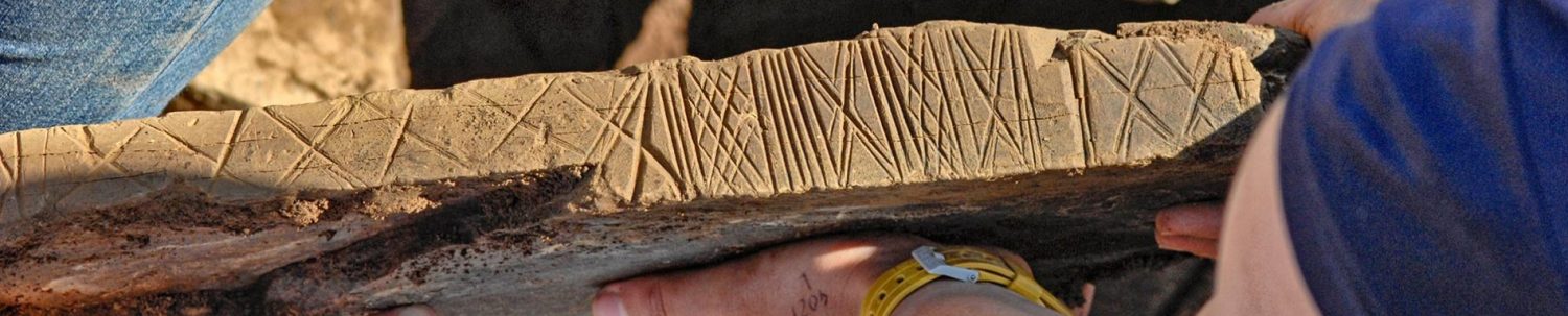
Excavation in 2019 not only revealed distinct differences in the artefacts deposited in each side but suggested that cupmarking was more common in the left “chamber” while incised, geometric art dominated the right.

Do the mismatched standing stones at Structure Twelve and Lochview represent something akin to this axial opposition?
A deliberate choice of contrasting materials that may have represented something specific to the people of Neolithic Orkney? Land/water; earth/sky; day/night; life/death? Or is it more nuanced and localised? We need more examples before we can speculate further.
For centuries the stone pair have been considered the poor relations of the megaliths around the Ness but the next time you are passing look at them afresh.
Whatever they represented, the fact is they may once have marked the southern threshold of a monumental Neolithic complex that, for generations, dominated the heart of Neolithic Orkney.

Notes
- [1] Although no name for these megaliths has survived, we refer to them as “the Lochview stones”, after the bungalow on whose land they now stand.
- [2] Our old friend George Marwick, from the neighbouring parish of Sandwick, makes no mention of the Lochview stones in any of his accounts of the Ness of Brodgar.
- [3] The Orcadian. July 20, 1901.
- [4] An interesting element in Agnew’s sermon relates to the Wasbister settlement site: “[T]he priests of serpent seem to have had their temporary residence, at least part of every winter, to the north of the ring of Brogar, where we have still the remains of their dwellings.” Strip aside the minister’s embellishments and we can see that structural remains were clearly still visible above ground as late as 1901.
- [5] Spence, M. (1904) Maeshow and the Standing Stones, Stenness: Their age and purpose. In Saga Book of the Viking Club Vol III.
- [6] The Orcadian. July 17, 1952.
- [7] Brend, A., Card, N., Downes, J., Edmonds, M. and Moore, J. (2020) Landscapes Revealed: Geophysical Survey in the Heart of Neolithic Orkney World Heritage Area 2002-2011. Oxbow Books, Oxford
- [8] Richards, C. (1993) An archaeological study of Neolithic Orkney: architecture, order and social classification.
- [9] Robin, G. (2010) Spatial Structures and Symbolic Systems in Irish and British Passage Tombs: The Organization of Architectural Elements, Parietal Carved Signs and Funerary Deposits. Cambridge Archaeological Journal 20:3, 373–418.
- [10] Richards, C., Brown, J., Jones, S., Hall, A. and Muir, T. (2013) Monumental Risk: Megalithic quarrying at Staneyhill and Vestrafiold, Mainland, Orkney. In Richards, C. (ed) Building the Great Stone Circles of the North. Windgather Press: Oxford.


