
The Deepdale Stone

By Sigurd Towrie

Head north along the road parallel to the south-western shore of the Stenness loch and a single standing stone will be clearly visible on high ground to the north-west.
Located in the parish of Stromness, the Deepdale Stone stands 1.8 metres (6ft) high. Its face, 1.4 metres at its widest, is oriented towards the rear of the Unstan chambered cairn, a kilometre (0.6 miles) directly to the east. Whether this is significant or mere coincidence is a subject of debate.
What is without question is that the stone did not stand alone. In the winter of 1976/77, a second megalith, 44.5 metres (146 ft) to the south-south-east was removed over fears it was unsafe and would topple [1].
At 2.3 metres (7ft 6in) high and 1.6 metres (5ft 3in) at its widest this stone was bigger than its surviving companion.
Neither stone seems to have attracted the attention of the early antiquarians, perhaps for the same reason that the lost stone’s destruction went unnoticed until spotted by a local schoolteacher [1] – they were not particularly prominent in the landscape.
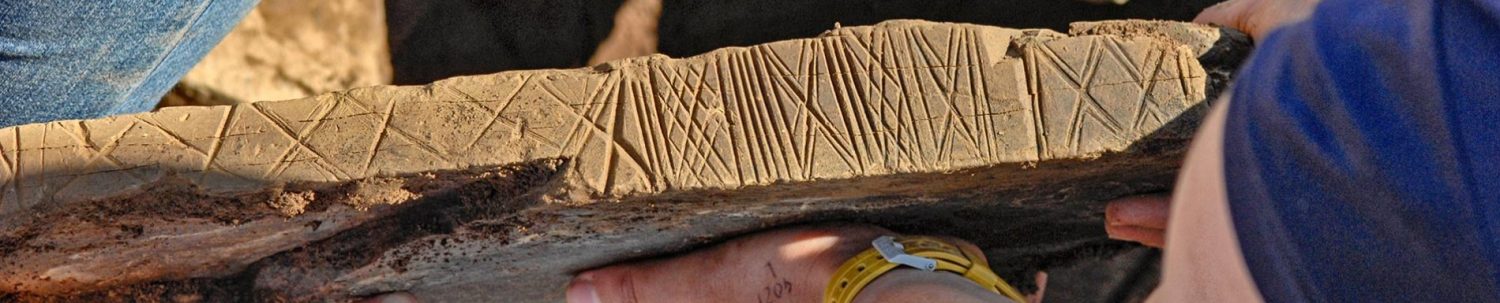
The destruction of the larger standing stone led to the excavation of its one-metre-deep socket and stump in July 1978 [1]. Small amounts of charcoal were recovered during this operation but, at that time, these were insufficient for radiocarbon dating.
The excavator’s dismay at the loss of the megalith was clear: “It is surely a tragic indictment of modern times that these vital clues to the meaning of the great monuments of the area should have been smudged out so anonymously after having stood for so long unmolested, and a poor consolation that, in the present case, the location alone has been saved.” [1]

Over the years it has been proposed that the two Deepdale stones were in some way aligned to the stone circles and megaliths across the loch and around the Ness of Brodgar.
The astronomer and physicist Sir Norman Lockyer, for example, suggested “a standing stone, near Deepdale” (he does not state which one) marked the position of “the November setting” of the sun from the Stones of Stenness. [2]
There is a problem with these suggestions, however. The surviving megalith is around 2.75km (1.7 miles) to the south-west of the Ring of Brodgar and not visible to the naked eye, even when you know where to look.
To John Burton, who led the 1978 Deepdale excavation:
To a certain extent I agree with Burton but given the Ness of Brodgar’s position at the centre of a landscape “amphitheatre” meant it was, and remains, a visual focus. With this in mind, perhaps the Deepdale stones’ relationship with the Ness monuments or sites, if any existed, was in the opposite direction. In other words, looking from the outside, in. Were the standing stone pair meant to “frame” the view from west?
Based on current archaeological evidence, it was pairs (or groups) of standing stones that stood around the Stones of Stenness. Today, we have two outside Ness dig HQ, a short distance to the south-east of the site entrance. The Watchstone appears to have had a twin and the Odin Stone was also one of a pair (or perhaps three).

These pairs have been likened to the door jambs of Late Neolithic Structures and therefore proposed to represent symbolic doorways.
To Professor Colin Richards the Deepdale stones were perhaps one such doorway facing the Brodgar-Stenness monuments.
He wrote:
Unlike its counterparts around the Ness of Brodgar, which are visible for miles around, the surviving Deepdale megalith’s position means views of it are restricted by the topography.
Only the lost southern stone was visible from the Neolithic site of Howe nearby [4] and the survivor is best seen when approaching from the south-east. Its position on high ground might mean that it, and its companion, were meant to mark a specific position on the horizon.

The modern name for the two stones comes from the nearby Deepdale farm, but our old friend George Marwick, from the neighbouring parish of Sandwick, may have documented an earlier name.
At the end of the 19th century, he wrote: “[I]n the parish of Stromness there are some standing stones in the vicinity of Howe, in Cairston, called Raga or Ragon…” [5]
Although we cannot be certain Marwick was referring to the Deepdale stones, they would have been the only megaliths in the area at the time he was writing.
As for the placename, he mentioned it in one of his (very) dubious attempts to create exotic etymologies and probably altered his spelling to fit.
I would argue it represents Riggin – which is also the name of a coastal feature in South Ronaldsay – from the Old Norse hryggr-inn, meaning the ridge.
It is interesting to note the dialect term ragstones applied to the stones you will still see set on edge on top of drystane dykes across Orkney.
The tapered, pointed tops recorded for both Deepdale stones are very reminiscent of such “ragstones”.
Notes
- [1] Burton, J. (1978) Excavation of a standing stone at Deepdale, Stromness, Orkney. In Proceedings of the Society of Antiquaries of Scotland (Vol. 109, pp. 357-360).
- [2] Lockyer, N. (1906) Stonehenge and other British stone monuments astronomically considered. Macmillan and Company.
- [3] Richards, C. (1996) Monuments as landscape: creating the centre of the world in late Neolithic Orkney. World Archaeology, 28(2), pp.190-208.
- [4] “[Howe’s[ location on the hill slope did however mean that, although the closer of the two nearby standing stones (removed 1970s), Deepdale, Stromness, would have been visible, further stone which still survives, would not.” Ballin-Smith, B. (1994) Howe: four millennia of Orkney prehistory excavations, 1978-1982. Society of Antiquaries of Scotland.
- [5] Marwick, G. (1892) Some traces of our Celtic forefathers, as seen at present in the names of places, customs &c. In Muir, T. and Irvine, J. (eds) 2014. George Marwick: Yesnaby’s Master Storyteller. The Orcadian: Kirkwall.


