


World Heritage Site Neolithic Trail – click on any location for further details.
One of the joys of the Heart of Neolithic Orkney World Heritage Site is the wealth of archaeological sites within easy walking distance.
The visitor to the Ness of Brodgar has two options – park at the Stones of Stenness and head north-west, or park at the Ring of Brodgar car park and make your way south-east.
For this brief guide, we’re going for the latter.

🔷 Follow the footpath from the Ring of Brodgar car park to the stone circle. As you approach the ring, you will see a large earthwork to the north-west – the Dyke of Sean – meandering across the width of the Ness.
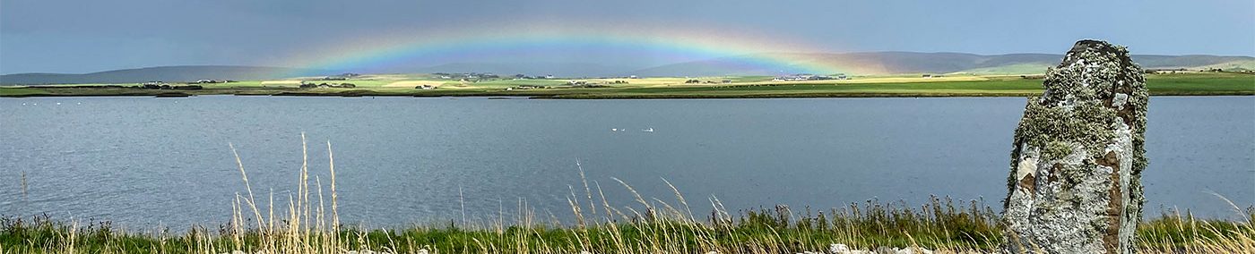
The dyke is on private farmland, often with livestock on it, so anyone wanting a closer look is best to do so from the shore of the Stenness loch.
🔷 From the Ring of Brodgar, the walker can follow a route that will take them past the massive Salt Knowe mound and follow the loch south-east.
Alternatively, head towards the Comet Stone, noting the Bronze Age burial mounds en route. From here the footpath follows the route of the road.

🔷 Both footpaths meet again just north of the Ness of Brodgar excavation site. The site is closed outwith the summer excavation season, so the trenches will be covered in protective sheets and hundreds upon hundreds of tyres.
🔷 Following the road towards the Brig o’ Brodgar, be sure to take note of the two standing stones outside Ness dig HQ. We know little about these two megaliths, but one of the possibilities is that they may relate to an entrance with the Ness complex’s southern boundary wall – aka the “Lesser Wall of Brodgar”.
🔷 At the far end of the Brig o’ Brodgar is the Watchstone and beyond that the Stones of Stenness. But before going to the stone circle, take the signposted track to the Barnhouse Settlement – a reconstruction of the Neolithic settlement site excavated in the 1980s.
🔷 At the Stones of Stenness, the end point of this walk, look to the north-east, where you will see the grass-covered mound that is Maeshowe, its entrance facing the Barnhouse Stone and the hills of Hoy on the south-western horizon.
Maeshowe

Access to Maeshowe is by ticket only, purchased from the Historic Environment Scotland visitor centre in the nearby Stenness village.
Visitors leave their vehicles at the visitor centre and are shuttled, by bus, to and from the chambered cairn.

Unstan
Access to the Unstan cairn is via a small track (signposted) leading off from the main Kirkwall-Stromness road.
There is a small car park near the monument for use by visitors. Access is free.


