
The Dyke of Sean – a third monumental wall crossing the Ness

By Sigurd Towrie
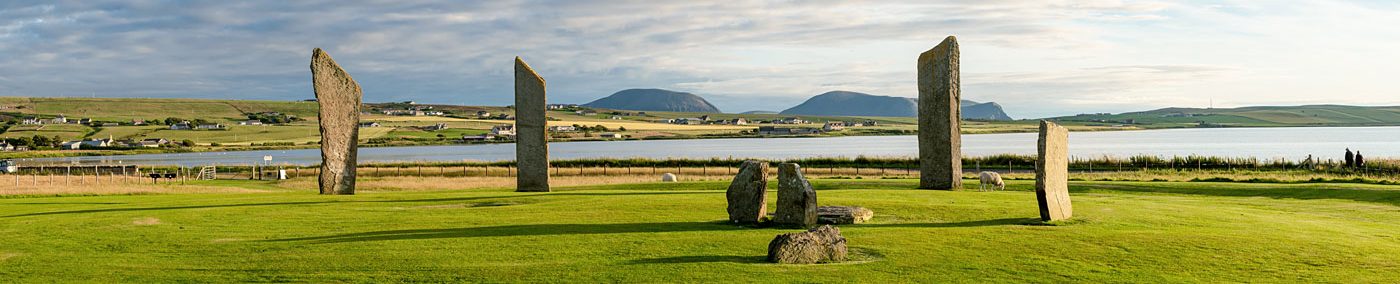
Visitors to the excavation site are always fascinated by the two monumental walls flanking the Ness of Brodgar complex. The sight of the four-metre-wide Great Wall of Brodgar, in Trench J, really highlights the sheer scale of their construction.

But what few are aware of is that the Ness pair were not the first walls known to run across the width of the isthmus.
That honour goes to a suspected prehistoric earthwork known as the Dyke of Sean.
Lying to the north-west of the Ring of Brodgar, the Dyke of Sean (pronounced see-anne) survives up to seven metres wide in parts and up to a metre high.
It has a single entrance and snakes erratically across the Ness 500 metres between the Stenness and Harray lochs – click here to view on map.
Although the age of the unexcavated dyke has not been definitively determined, the consensus of opinion is that it is prehistoric.
Sections of stonework revealed by cattle erosion in 2009 suggest a Neolithic date, with high-quality masonry visible and stepped foundation similar to the earth-covered wall surrounding Maeshowe.
Today, the Dyke of Sean marks the boundary between the West Mainland parishes of Stenness and Sandwick and, according to local tradition, was built for that purpose.

Stenness lore dictates that the land around the Ring of Brodgar once lay in Sandwick until one “Lady of Brogar” transferred it to Stenness, on the condition that she be buried under the tower of the Stenness kirk.
This was done, and the land transfer documented in 1503.
Although it is likely the prehistoric dyke was adopted as the new parish boundary because it was a visible landmark, well suited to the purpose, the idea it was built to serve the role is perhaps more than a mere folktale.
Sections of the dyke have been robbed of stone which may, in historic times, have been used to construct a bank to the south.
That this bank might have been more prominent in earlier centuries is suggested by an account from Orcadian George Marwick, who described the earthwork at the end of the 19th century as being “solidly and substantially built”.
Adding weight to a Neolithic date are geophysical scans that showed – compared to the areas to its north-west and south-east – a marked lack of built archaeology surrounding the Ring of Brodgar (other than later Bronze Age funerary barrows).
To the north-west, the stark cut-off point coincides with the path of the Dyke of Sean, beyond which is a huge area of geophysical anomalies, including structures, old field boundaries and enclosures.
The lack of activity between the stone circle and the Dyke of Sean is mirrored to the south-east.
The Ness site’s northern boundary wall – the “Great Wall” – appears to mark the southern limit of this apparent “no go” area. If it did, it was only for a few centuries at most. We now know that the was dismantled by c.3000BC and buildings spilled out to the north-west.
But there is another (purely speculative) possibility.
On a 1772 map, produced after the survey of the Ness by Sir Joseph Banks, a “stone wall” is shown to the south-east of the Ring of Brodgar. This wall also ran the entire width of the Ness and, if the map is correct, continued into the Harray loch.

The wall appears again – unnamed – on an 1812 map of Stenness and, in 1849, is described as a “dilapidated dike” on the map produced following the topographic survey carried out by Lieutenant F. W. L. Thomas, the commander of the Royal Navy survey ship Woodlark.


This wall is long gone but all three maps show it with a single entrance, aligned to the Ring of Brodgar’s south-eastern causeway (albeit roughly in the less-than-accurate 18th century document). Through this gap, wrote Capt. Thomas, the “road to Sandwick and Birsa (sic) ran”.
It must be stressed that there is no evidence this dyke was prehistoric – no trace of it survives today.
However, given the two definite and one suspected Neolithic walls crossing the Ness, it is hard not to ponder whether the lost dyke was related to the area around the Ring of Brodgar – in particular whether it, together with the Dyke of Sean, enclosed a space set apart from “everyday” life and perhaps connected with the stone circle.
Or is the lack of geophysical anomalies because the area was perceived as being distinctly different and as such enclosed and avoided?
Returning to George Marwick, he makes no mention of Thomas’ “dilapidated dike” suggesting any trace was all but gone by the time he put pen to paper.

However, there was no doubt in his mind that the Dyke of Sean defined a boundary relating to the Ring of Brodgar (he also believed the Watchstone marked the stone circle’s southernmost extent of influence).
To Marwick the important element was not the dyke itself but the substantial ditch that runs along its north-western side – and the water within.
But his uncertainty didn’t last long:
“The name of the ditch is the Sean…” he wrote, although, in other papers, he also refers to it as “the seean” (which is closer to the correct pronunciation). Before venturing further into Marwick’s accounts, it should first be explained that the land around the eastern end of earthwork is often flanked by extensive pools of seasonal standing water.
As noted above, to Marwick it was the water that was the significant element:
“As the name implies…” wrote Marwick, and it is at this point we start to run into the problems that plague George Marwick’s work.
His tendency to insert nonsensical etymologies into his writing led to much of it being dismissed by later scholars. In this case, he claimed the earthwork’s name derived from an Orcadian dialect word seene. This, he explained, meant “an enclosure of earth and stones for the purpose of segregating animals for a time”.
While we can’t completely discount the possibility this word was genuine and has since vanished, I have neither heard, nor been able to find any other reference, to it.
But despite the dubious etymology, Marwick’s words are key to understanding the actual root of the name. As we have seen, to him it was not the dyke that was significant but the burn and the water. And the fact that he repeatedly refers to it as “the seean” suggests the name related specifically to the pools of water still visible today:

In Orkney, the Old Norse word tjorn, which technically means small lake, is often used for pools, but has corrupted into numerous forms over the years – most commonly choin, chun, shun and sean.
The Seean was therefore the name of the watery pool(s) from which the dyke took its name.
The idea that it was the burn that demarcated two distinct areas survived into the 19th century, but by then, as Marwick explains, it was more than just a geographical divider:
To the people of the 1800s, it was not necessarily the earthwork that offered protection from the perceived dangers surrounding the ancient stone circle – it was a line of running water.
That said, the role of water on the Ness may not have been something restricted to superstition solely in historic times – something we will consider in a future post…


