
2011 excavation DSR available to download

The next in our series of Data Structure Reports (DSRs) is now available, with the 2011 document free to download here.
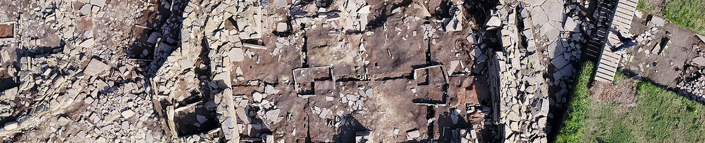
A DSR is a technical excavation report – an intermediate summary to define the results, initial interpretation and questions that assist developing in post-excavation analysis and subsequent strategy.

It must be stressed that the document is report of its day and our interpretation of the site has evolved considerably over the last two decades.
Among the aims of the 2011 season were:
- Further clarify the nature of the site and its chronology in relationship to the rest of the Heart of Neolithic Orkney World Heritage Site.
- Uncover the full extent of Structure Eight.
- Further investigate the construction sequence of Structure One.
- Reveal more of Structure Twelve and continue removing the infill in the building.
- Clarify the history of Structure Ten’s internal chamber.
This saw Trench P extended to reveal the full extent of Structure Twelve, which confirmed its eastern wall had been extensively robbed in prehistory. At the southern end of Structure Eight the size of the building became clear – measuring over 20 metres long.
Work in Structure Ten revealed that it had a much more
complex history than previously thought. Structure Fourteen was partially revealed and the floor and occupation deposits in the later Structure Seven further examined – as was Structure Eleven. adjacent to Structures One and Seven.


