
Stratigraphy: unpicking the history of the Ness complex
One very crucial aspect of post-excavation work is the analysis of the stratigraphy and the creation of chronological phases for the site which all this information can be related to. Previously, we introduced our work of analysis and the site Harris matrix.
Here, Paul Durdin, the supervisor of Trench J, explains what he has been doing recently in relation to the phasing of the wider site.

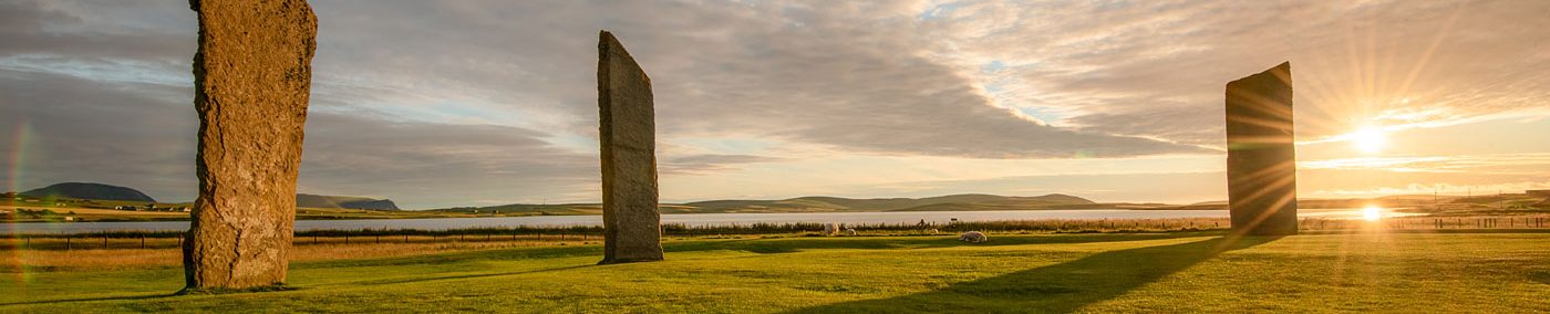
The central standing stone at the Ness is surrounded by a spread of carefully chosen, closely fitting stone paving slabs, creating a pivotal space around which the buildings circle.
This was clearly an important focus of the site at one time in its use, but it is also a crucial place now for a rather different reason: by examining the deposits that built up over this paving, and how they relate to the structures around it, we can improve our interpretation of the later phases of the Ness.
This process is undertaken through stratigraphic analysis, which sounds a lot more complex than it really is in practice.
Every dump of midden or rubble, every wall constructed, and each pit or hole dug into the site is assigned a context number when it is excavated. Along with this are recorded the feature’s stratigraphic relationships: a set of associated numbers showing which other contexts came immediately before or after it.
It’s simplest to consider each context as an event in the past, either a putting down (deposit) or a taking away (cut) of material, and thus we develop a sequence of events over time. This all gets placed into a “matrix”, a two-dimensional representation of the sequence.
The picture below is only a small part of the matrix for the central paved area, showing earlier contexts at the bottom and moving up through the sequence as time goes on.

With the thousands of individual contexts that have been excavated at the Ness over the years, a single complete matrix for the site would be impossibly unwieldy.
Instead, separate matrices are created to cover different areas of the site and linked together, such as the links in the illustration to a separate matrix for deposits that covered the southern part of Structure Eight.

Through all this, it becomes possible to identify stratigraphic “phases”, groupings of contexts that are associated with a particular period of use of the site.
This is an interpretive process that relies on a good understanding of how deposits and features form. For example, in the matrix example,part of Midden Phases 3 and 4 are visible, phases which were initially differentiated by the speed at which the deposits in them were laid down.
Phase 3 was made up of midden-enhanced soils and rubble that were deposited quickly across the area of the central paving: deliberate dumps of material that relate to rebuilding and modifications in the structures around.
Phase 4, on the other hand, was made up of a gradual accumulation of midden material that is good evidence for continued occupation of the site but not for any considerable structural changes.
This contrast also illustrates how stratigraphic phasing only represents a relative chronology, not an absolute one, as phases identified can often span vastly different periods of time. When examined in conjunction with radiocarbon or other absolute dating methods, however, it becomes possible to interpret even the timescale of every phase.
Each building at the Ness has its own phasing, defined by different episodes of construction, occupation and abandonment (usually much more complex!), but by linking matrices together it becomes possible to correlate events between different parts of the site.

For instance, Structure One is likely to have been built at roughly the same time as the paving is laid down around the central standing stone. This occurs at the start of Midden Phase 1, with the building at the open area in use concurrently throughout the phase.
Then in Midden Phase 2, a number of mixed deposits of rubble and midden appear in the central area, covering most of the paving, with only small “retaining” walls apparently keeping pathways clear across the paving.
Towards the end of this phase, the southern door of Structure One is blocked up, an event which allows us to link the midden phasing with the Structure One phasing.

By Midden Phase 3, the paved area has been completely abandoned, no longer “central” to the site, but the buildings around remain in use. The northern annexe to Structure Twelve is built during this phase, and we can thus correlate the phasing of that building with the accumulations in the once-central area.
Stratigraphic phasing is crucial to understanding how the Ness changed over the course of its occupation during the Neolithic – not just how each individual building was constructed, used, modified and eventually abandoned, but how these events when linked together paint a bigger, richer picture.


