
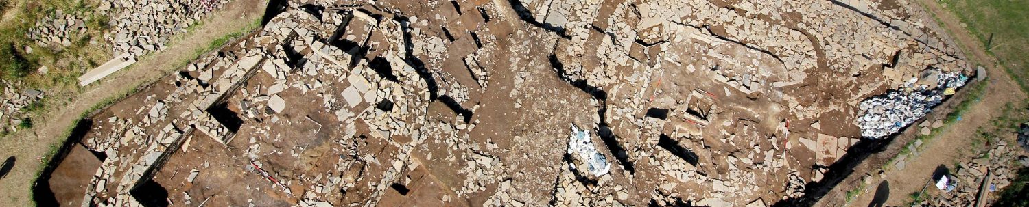
GIS – recording finds on a 3D site map

The position of everything found during excavation is recorded digitally in three dimensions. You will know that is what is happening when you see two people shouting numbers at each other, while apparently being ignored by the excavators in between.
The process at the Ness runs like the well-oiled machine it is thanks to our present and past geomatic officers Mark Littlewood, Alette Blom and Sierra Renna.
Each find is put in a sealed bag with the details marked on it – site code, context number, trench, date, structure number, a brief description of the find (e.g. flint, pot, pumice etc etc) and a unique small finds number. Then, a small plastic tag with a matching small find number (that are recycled repeatedly) is inserted into the ground at the exact location the find came from.
Then, during their rounds, the geomatics specialists stop at each section and using a piece of technological wizardry known as a Total Station, the location of each tag, using 3D co-ordinates, is zapped in using a laser and a reflective prism.

This 3D recording also applies to certain samples and other points that need accurately located such as the points on section drawings or plans.
In a very brief and non-technical nutshell, the way it works is that the Total Station is always set up on exact known spots on the site grid. These are constant. We know their exact spatial co-ordinates on both the site grid and the National Grid, and these never change.
When recording finds, the tip of the long-handled prism is held vertically on each find spot and reflects a laser back to the Total Station, which then calculates by simple mathematics the spatial co-ordinates – all done in an instance whereas some of the older diggers can still remember when this was all done by hand using tape measures, levels and theodolites!
All this finds data is then transferred into a geographic information system (GIS) which show the exact location of everything found on site.

Apart from the 3D finds data there are many other layers of information contained within the GIS, site plans, section drawings, maps, geophysical surveys, XRF data etc and also linked into our overall small finds database and photographs of finds etc etc – all interlinked so that they can be interrogated in various combinations.
This allows for instance the production of invaluable three-dimensional distribution maps that allow us to spot patterns of deposition that might not otherwise be obvious

Reviewing year’s worth of data, for example, might show a high number of worked stone around a structure, which could indicate it was being used for a specific task or perhaps the manufacture of these objects. The data can then be cross compared and laid over for instance the XRF distribution plots, or other artifact types to look for correlations or differences in distributions which may further clarify how the site was used.


