
Geophysics project to resurvey entire site gets off to a cracking start


Paul Durdin is a man of many talents. Perhaps best known to readers as the supervisor of Trench J, he is also, among other things, behind the majority of our recent 3d models and is working away behind the scenes on the Ness’ extensive GIS records.
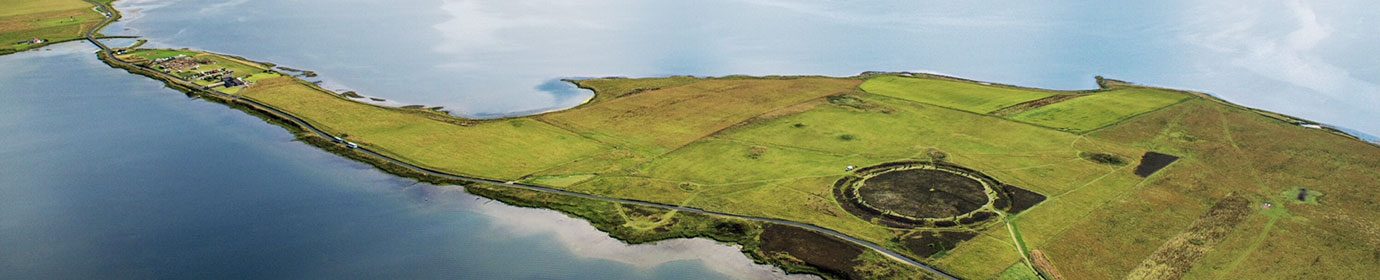
Geophysics is another string on Paul’s bow and his arrival on site today marked the start of a two-week project to resurvey the entire Ness of Brodgar excavation site.
Why? Because technology marches on. The first surveys were a quarter of a century ago and the last over ten years ago! Like mobile phone cameras, things have changed.
The new surveys are being carried out at a higher resolution than previous scans, which, we hope, will let us see what might lie in the areas outside the excavation trenches.
Aided by Chris, Claire, Travis and Sigurd, things got off to a great start. Chris completed his magnetometer survey of the entire field containing Trench P, and the preliminary results look incredibly interesting.
Magnetometers measure the local magnetic field strength. Some archaeological features have a measurable magnetic field. Burning will cause substances to become magnetised, metals have a strong magnetic field and even the fill of a ditch will show up because there are magnetic particles in soil. So if you have a deeper depth of soil, because of a ditch, you will get more of a magnetic field to measure…
Although Chris’ magnetometer can survey while he paces out the site, resistivity is a little slower and two 20-metre segments of the gridded-out site were completed by close of business today.


Paul gets the resistivity survey under way. (📷 Sigurd Towrie)

Resistivity, as the name suggests, measures the resistance to an electrical current passed through the ground. The amount of water present in the soil is affected by some archaeological features. A wall under the surface, for example, means there’s less soil to store moisture, so it will show up as an area of high resistance. A ditch or pit, on the other hand, can store more moisture for longer, giving a lower resistance.

Readings taken on a grid can then be turned into an image and interpreted to look for archaeological features
After Orkney’s prolonged dry spell in May, there were some concerns the resistivity scans might suffer – if the ground is too dry there’s no water to affect the electrical current. This will obviously impacts the result.
We needn’t have worried though. The rain returned – most recently last night – and today’s survey results look promising.
Tomorrow, Chris will turn his attention to the field containing Trench T, while the resistivity crew continue around Trench P.
As part of the operation we are hosting two free open afternoons – one this week, another next – for those interested in the science of geophysics and having a go. These are part of our ongoing Past, Present and Future outreach project, enabled with a grant from the National Lottery Heritage Fund.
Workshop places are full and we’re looking forward to welcoming the participants to the site.


