
2005 excavation DSR available to download

The latest in our series of Data Structure Reports (DSR) is now available, with the 2005 document free to download here.
A DSR is a technical report of excavation – an intermediate summary to define the results, initial interpretation and questions that assist developing in post-excavation analysis and future strategy.
It must be stressed that the 2005 document is report of its day and our interpretation of the site has evolved considerably over the last two decades.
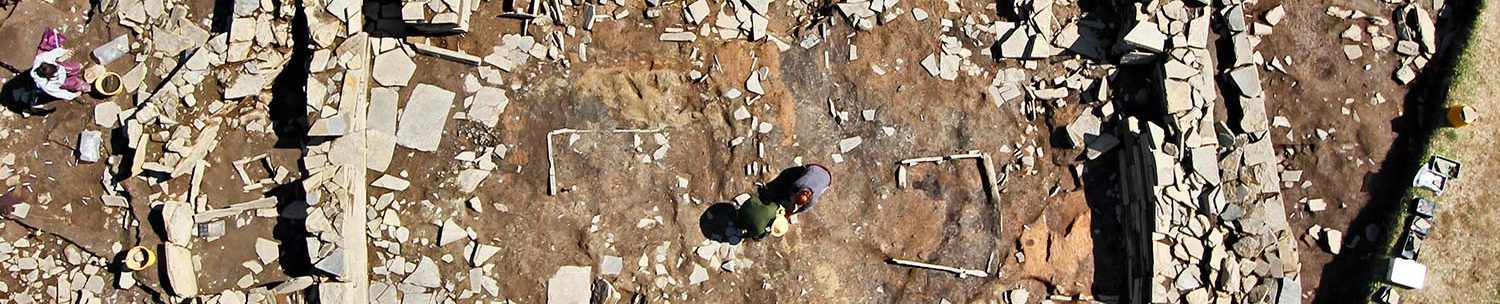
The focus of the 2005 season was the nature and date of what appeared to be a large double linear anomaly revealed by geophysics and trial trenching. Two main trenches were opened, one on the external “corner” of this feature (Trench J); the other over a central portion of the anomaly (Trench I).

In Trench J, the diggers revealed what we now know to be the northern boundary wall (the ‘Great Wall of Brodgar’). Trench I produced a sequence of badly plough-truncated Neolithic structures.
Trench K, on the slope down to the Loch of Stenness, was opened to obtain more soil samples as part of a PhD thesis looking at wider issues such as early land management, palaeoenvironments and other significant information relevant to the interpretation of the Heart of Neolithic Orkney World Heritage Site.
Other DSRs from subsequent seasons will follow over the coming months, so you can see how the Ness excavation developed and our ideas have changed.


